


| Stations Details | |
|---|---|
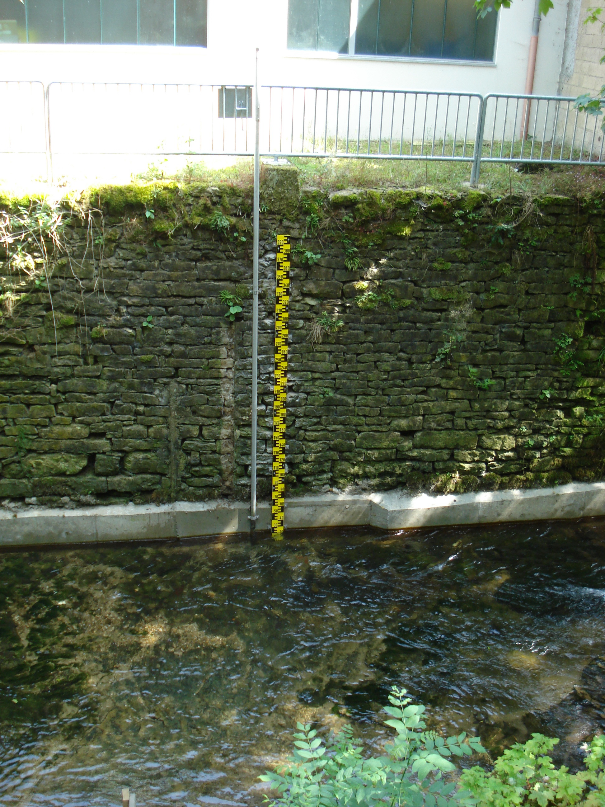
| Name | Grundhof |
| Watercourse | Ernz Noire |
| Basin [km²] | 99.2 km² |
| Gauge Altitude | 168.12 m NN. |
| River Kilometre | 0.21 km |
| Coordinates (LUREF) | 91660 E | 100009 N |
| Answering Machine | |
No up-to-date measurements available for this station.
| Additional Station Data | |
|---|---|
| Operating Since | 01.07.2009 |
| Operational Status | Operating |
| Operator | Administration de la gestion de l'eau |
| Calculation of Predictions | Administration de la gestion de l'eau |
| Additional Available Information |
Water Temperature [°C]
|
| Main Values | |||
|---|---|---|---|
| No main values have been entered for this station. | |||
| Statistical Values | ||
|---|---|---|
| Discharge | Water Level | |
| No statistical values have been entered for this station. | ||
| Historic Water Levels | ||
|---|---|---|
| Date | Water Level | Discharge |
| No historic floods have been entered for this station. | ||