DE
FR
LU
EN
Start
Kontakt
Impressum
Informationen
Login
RSS
Nachrichten
Warnungen
Karte
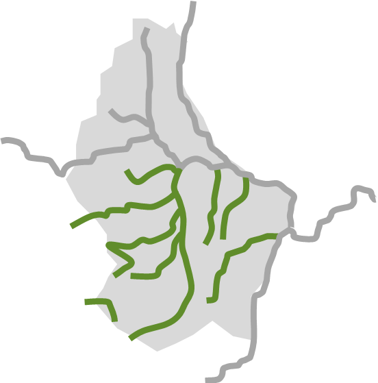
Wasserläufe
Süden Luxemburgs
Aktuell kein Risiko für Hochwasser.
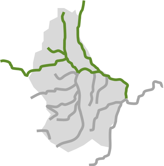
Norden Luxemburgs
Aktuell kein Risiko für Hochwasser.
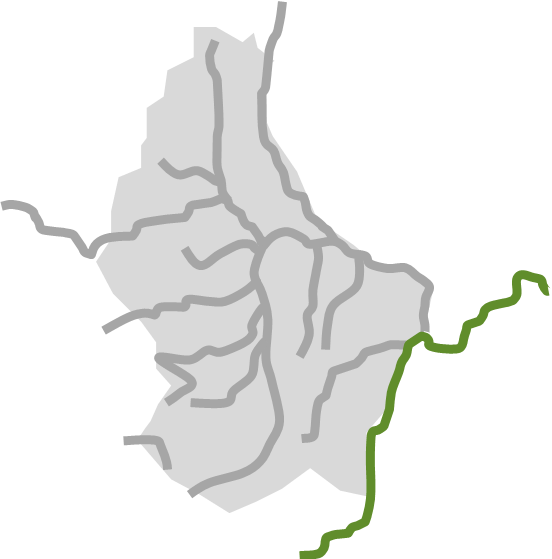
Mosel
Aktuell kein Risiko für Hochwasser.
LU Alert
Infocrise